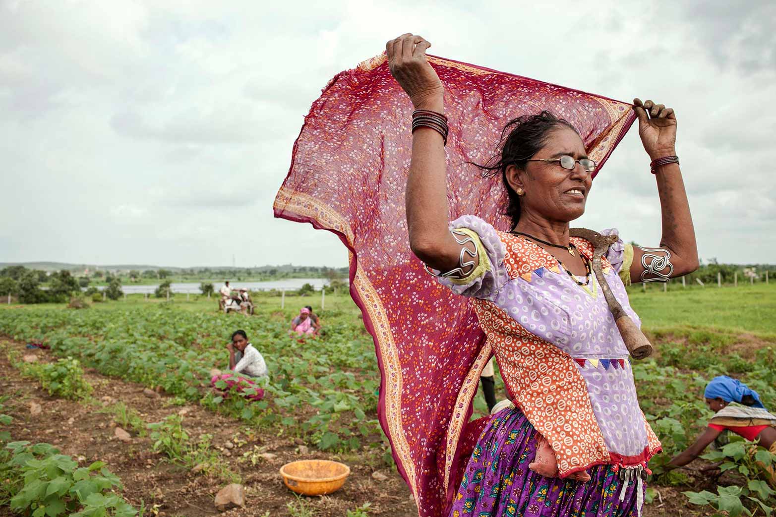
Who we are
With research staff from more than 60 countries, and offices across the globe, IFPRI provides research-based policy solutions to sustainably reduce poverty and end hunger and malnutrition in developing countries.

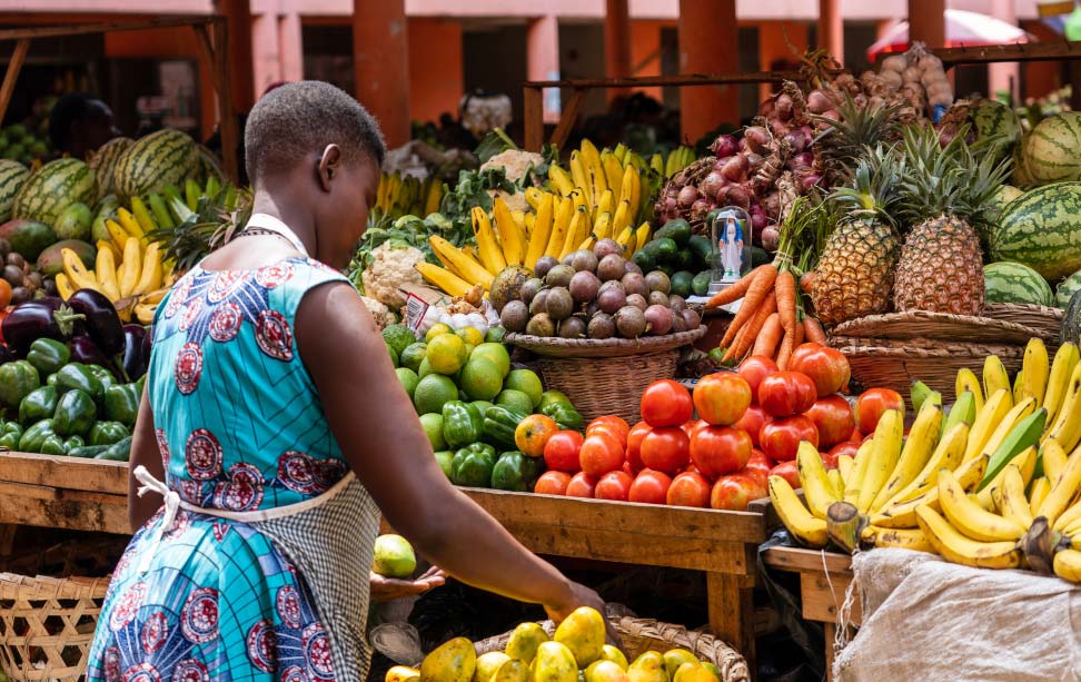
What we do
IFPRI is committed to providing policy-relevant research for better nutrition and livelihoods.
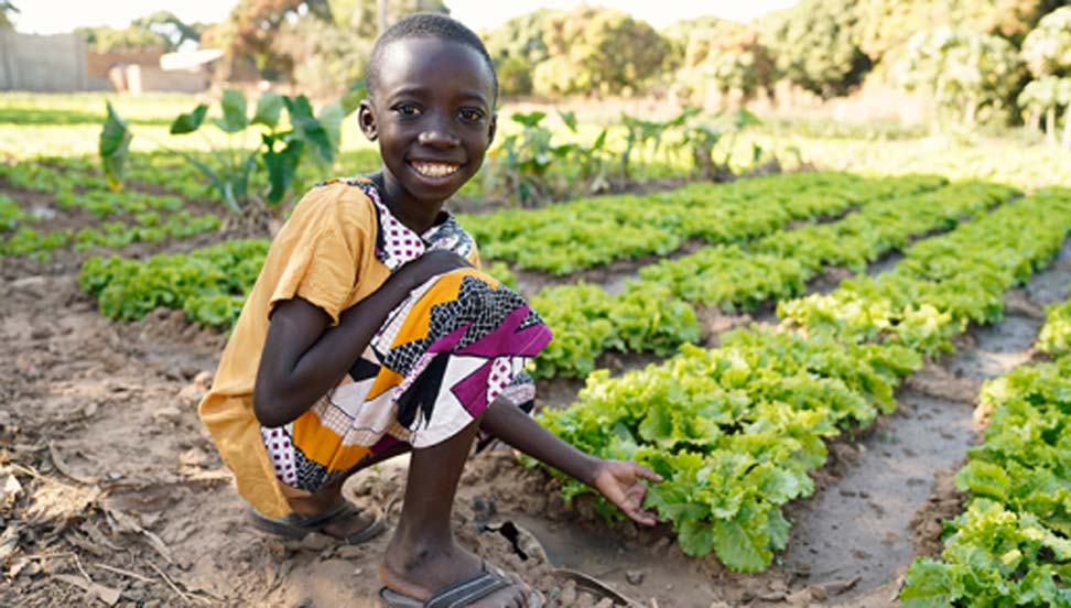
Where we work
IFPRI currently has more than 600 employees working in over 80 countries with a wide range of local, national, and international partners.