


The following article was jointly written byIFPRI researchers Weston Anderson and Liangzhi You from the Environmental and Production Technologies Division (EPTD) and Evgeniya Anisimova, communications specialist for the CGIAR Research Program on Policies, Institutions, and Markets (PIM). It originally appeared on PIM’s blog.
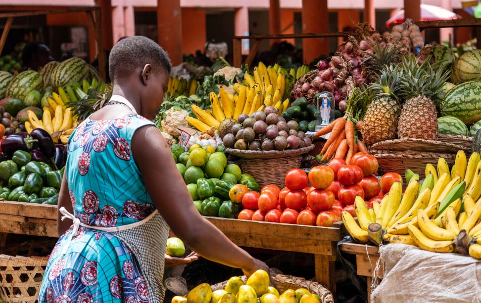
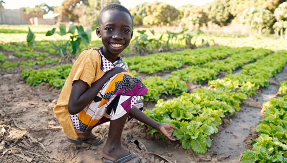
In the era of big data, unmanned drones, and satellite remote sensing, our knowledge of crop growing locations remains surprisingly limited. We have even less information on crop yields that vary from plot to plot. While some developed countries have started to map their crops, most developing countries have no such capacity. Information on the distribution and performance of specific crops is therefore mostly available through national or sub-national statistics, which are often too general for a focused analysis.
The lack of consistent spatial information on crops creates problems for both researchers and policymakers. Researchers need such information to estimate the impact of climate change on agriculture, calculate yield gaps (difference between actual and potential yields), or analyze the historical evolution of farming systems. Policymakers, donors, and investors need it to better target agricultural and rural development investments and policies.
The potential value of such maps has not been overlooked by the international research community. Many independent groups have been pursuing the development of global cropping system maps for quite a while. But the task is neither straightforward nor easy. As the results of the recent analysis by a team of researchers from the International Food Policy Research Institute (IFPRI) show, the discrepancies between and among available datasets are significant. The study compared the four main existing cropping system models – M3, MIRCA, SPAM, and GAEZ. As it turns out, the data sets disagree not only on the crop-specific information, but also on the extent of cropland delineated in the models. It is not surprising that having calculated the global yield gap using each of the four data sets, the researchers found that the differences in the results were even larger than the estimated yield gap itself (i.e., the average from the four models).
These results speak for themselves: we need more accurate and validated maps of cultivated area and crop yields by crops at a global scale. Accuracy and validation can best be achieved through collaboration among researchers. And while there have been examples of such collaboration, such as a recent workshop on characterization of the global production system convened by IFPRI, more needs to be done.
Improving spatial understanding of crop production systems will help us all – researchers, policymakers, donors, and other actors of public and private sectors – to contribute to food security and agricultural growth with minimal environmental impacts.
SPAM (IFPRI’s recipe)
SPAM is the Spatial Production Allocation Model developed by IFPRI to generate highly disaggregated, crop-specific production data by triangulation of all relevant background information. This includes national and sub-national crop production statistics, satellite data on land cover, maps of irrigated areas, biophysical crop suitability assessments, population density, secondary data on irrigation and rain fed production systems, cropping intensity, and crop prices. This information is compiled and integrated to generate prior estimates of the spatial distribution of individual crops. “Priors” are then submitted to an optimization model that uses cross-entropy approach to make plausible estimates of crop distribution within disaggregated units.
Tested in Latin America and sub-Saharan Africa, SPAM is now widely used to generate a global distribution of crop area and production for over 40 crops. SPAM methodology is being continuously improved with a commitment to update the model every five years. SPAM is incorporating more remote sensing inputs (e.g. crop growing season) and higher resolution images by newer satellites and more recently by drones. IFPRI is currently working with Purdue University to put the model on a cloud so that users could run their own SPAM. The team has already started to assemble subnational statistics for SPAM 2010.
To learn more about SPAM, visit www.mapspam.info or contact HarvestChoice.
This work is part of a project facilitated by HarvestChoice within PIM under Research Flagship 3 (Adoption of Technology and Sustainable Intensification) devoted to developing geospatial tools for mapping of the work of all 16 CGIAR research programs, geographical alignment of complementary agricultural investments, and monitoring the pace and extent of adoption of technologies.