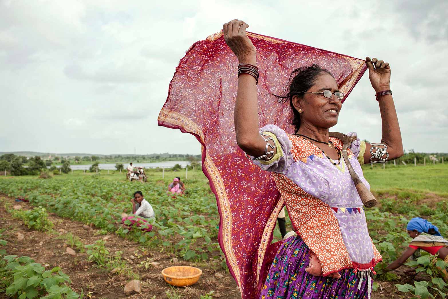


March 23, 2014, Baghdad, Iraq—In a country where nearly two million people are food insecure, a novel interactive online tool will provide Iraqi decision makers and other stakeholders with a ‘one-stop’ source of reliable and comprehensive geo-spatial information, assisting them in the development of appropriate policies that effectively target improved food security and household nutrition.
Iraq Spatial, launched today, aggregates a full range of development data and is the first resource of its kind. Related to the more expansive Arab Spatial, a region-wide source of geo-spatial information, Iraq Spatial builds on this model to provide more specific national and sub-national level data to assist in the precise targeting of interventions.
Providing over 200 data levels – including climate, biophysical, and socio-economic data –Iraq Spatial enables users to target policies and research where they are most needed, and model the estimated impacts of their interventions at precise locations. Furthermore, users can identify the expected impacts of climate-related crises and shocks by analyzing and extrapolating relevant data such as precipitation, temperature, and biomass variability.
Developed through the USAID-funded Harmonized Support for Agriculture Development (HSAD), the Iraq Spatial is a collaborative effort between the International Food Policy Research Institute (IFPRI), which developed the concept, and the International Center for Agricultural Research in the Dry Areas (ICARDA), which compiled and applied the data. The tool adheres to an open access policy: end-users can browse and query, free of charge, a full range of databases, build interactive multilayer maps, and use customized analytical tools that allow them to compare, explore, and download these results.
Iraq Spatial follows an innovative food and nutrition security framework, which demonstrates the complex relationship between food security, macroeconomic stability, good governance, and strong sectoral performance across key sectors such as agriculture, water, energy, and trade and transportation. The tool indicates that good performance is likely to improve food security at the household level, while underperformance is likely to lead to a worsening of social outcome indicators such as poverty and malnutrition.
Iraq Spatial is updated and expanded on a regular basis and welcomes the submission of new information from partners and other stakeholders – thereby helping to continually improve the tool and further assist in the delivery of appropriate interventions and polices across Iraq.
Says Chandrashekhar Biradar, Head of ICARDA’s Geoinformatics Unit: “Iraq Spatial provides a comprehensive and accessible set of visual analytics that help to target policies and research more effectively. It gives Iraq’s decision makers and research community the information they need to develop appropriate policy reforms and strategies that are capable of raising agricultural productivity and strengthening food security. With an option for end users to add relevant data, the tool will become even more comprehensive over time, helping to further assist the targeting of interventions.”
“One of the key prerequisites to addressing Iraq’s development challenges is building and maintaining a detailed, timely, and robust information base to inform policy,” says IFPRI Senior Research Fellow Clemens Breisinger. “Iraq Spatial aspires to do so through its expanding open access database, easy to use mapping and analytical tools, and the growing partnerships it aims to build and strengthen with both national and international development partners”.
Iraq Spatial can be accessed at www.arabspatial.org/Iraq
#
Notes to editors:
About HSAD: The HSAD initiative aims to improve the incomes of Iraqi farmers and agribusinesses by strengthening agricultural value chains. It targets key crop commodities crucial to Iraqi food security and prioritizes women and poor small-scale farmers. The Program also eases value chain constraints and raises the competitive potential of Iraq’s agricultural sector. Activities include improving the delivery of extension services, developing the capacities of beneficiaries, and supporting reforms of agricultural policies, regulations, and institutions. HSAD is funded by the United States Agency for International Development (USAID) and places Iraq’s Ministry of Agriculture at the heart of reform efforts, alongside a range of international partners providing support and expertise. www.hsad.icarda.org
About ICARDA: The International Center for Agricultural Research in the Dry Areas (ICARDA) is the global agricultural research center working with countries in the world’s dry areas, supporting them for the sustainable productivity of their agricultural production systems; increased income for smallholder farmers living on dry lands and in fragile ecosystems; and nutrition and national food security strategies. With partners in more than 40 countries, ICARDA produces science based-solutions that include new crop varieties (barley, wheat, durum wheat, lentil, faba bean, kabuli chickpea, pasture and forage legumes); improved practices for farming and natural resources management; socio-economic and policy options to support countries to improve their food security. ICARDA works closely with national agricultural research programs and other partners worldwide – in Central Asia, South Asia, West Asia, North Africa, and sub-Saharan Africa. www.icarda.org
About IFPRI: The International Food Policy Research Institute (IFPRI) seeks sustainable solutions for ending hunger and poverty. IFPRI was established in 1975 to identify and analyze alternative national and international strategies and policies for meeting the food needs of the developing world, with particular emphasis on low-income countries and on the poorer groups in those countries. www.ifpri.org
About the Arab Spatial: Arab Spatial is an online interactive mapping tool developed by IFPRI, the International Fund for Agricultural Development and the CGIAR Research Program on Policies, Institutions, and Markets that compiles data from across the 22 countries of the League of Arab States. http://www.arabspatial.org
Sarah Immenschuh Brawner, s.i.brawner@cgiar.org, +1 (202) 862-5679