


Making climate model information accessible with animated maps
IFPRI climate-change researcher Gerald Nelson has come up with what the Scientific American calls “a graphical accounting of the limits to what one planet can provide.”
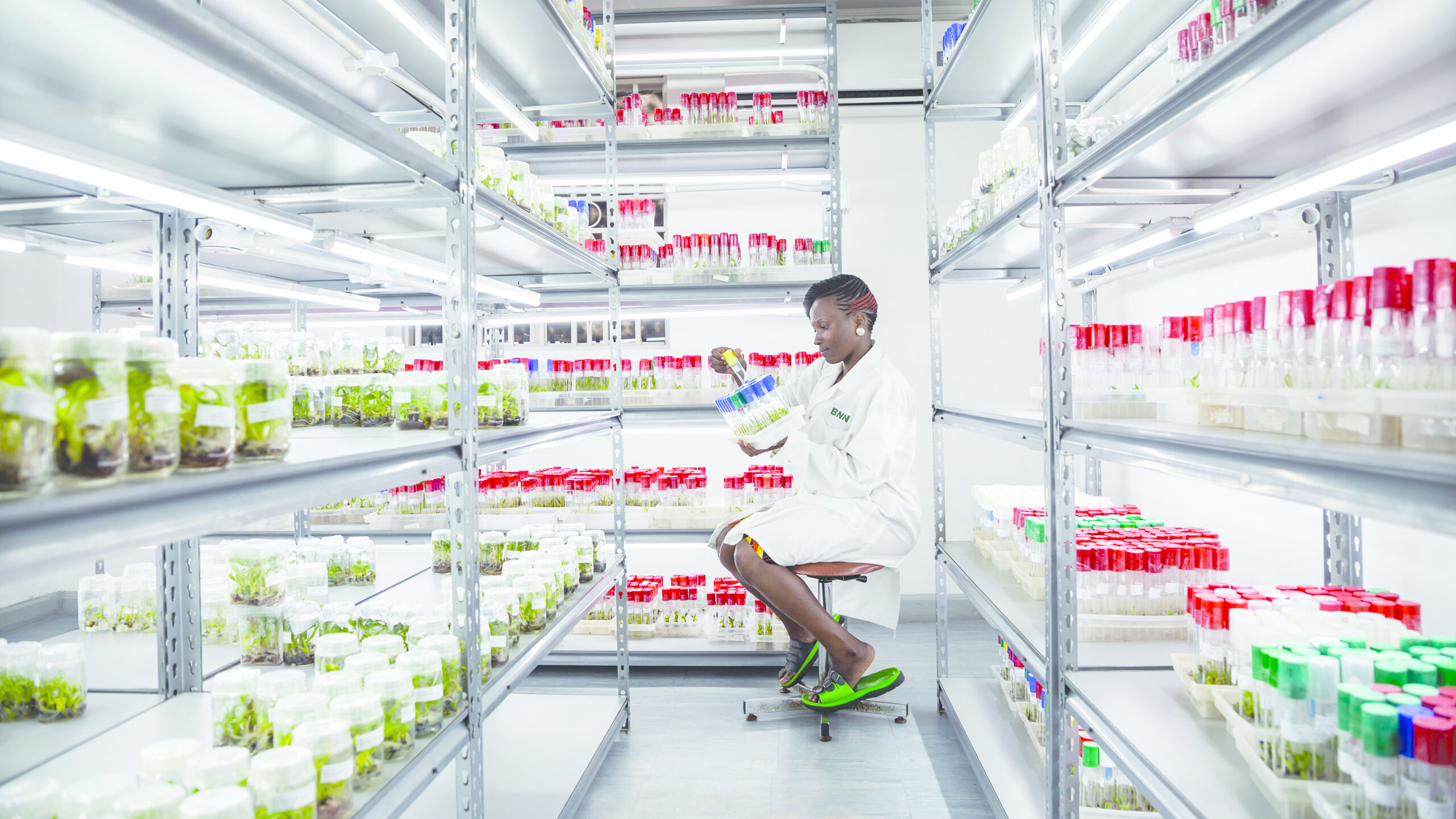
Nelson’s work features cutting-edge global climate models and new three-dimensional animations. It is highlighted in “How Much Is Left?,” an article in the magazine’s September 2010 issue and an accompanying video, which cover five resource categories. The topic of food is based, in part, on Climate Change: Impact on Agriculture and Costs of Adaptation, a food policy report produced by IFPRI. Nelson discusses his work in the video interview above.
Climate change animated maps: South Asia
- Average Monthly Precipitation
- Monthly Average Minimum Temperature
- Monthly Average Maximum Temperature
Scientific American interactive feature
Understanding global climate models
Global climate models (GCMs), used to analyze climate futures, generate large volumes of data about possible future temperature and precipitation patterns. The challenge is to interpret the results in a way that both provides an overview of the data and conveys a sense of their complexity. A number commonly reported as such evidence is the increase in average surface temperature at sea level. For example, the Copenhagen Accord, arrived at during the United Nations Framework Convention on Climate Change negotiations in December 2009, recognized the need to keep the average annual surface temperature increase below 2°C. This average, however, masks considerable variation in temperatures at locations other than sea level, in average monthly highs and lows, and in temperature increases overall.
Climate change goes 3-D
In an effort to evaluate and represent a greater quantity and broader scope of climate-change related data, IFPRI researchers created three-dimensional animations that display monthly average values for precipitation, and daily minimum and maximum air temperatures for large regions worldwide. For each of these three variables, the animations show current monthly values in the upper left quadrant of a square, the changes between 2000 and 2030 in the upper right quadrant, the changes between 2000 and 2050 in the lower left, and the changes through 2080 in the lower right, using both color and elevation to convey the changes. In these initial animations for South Asia, it is fascinating to watch the monsoon rains arrive in June and depart in the fall. It is equally interesting to watch how, relative to the year 2000, monsoon precipitation increases substantially in the climate scenarios presented here.
Global climate models find varying—and sometimes conflicting—degrees of change in precipitation and temperature, so it is important to compare results across different GCMs and greenhouse gas scenarios. In the next few months, IFPRI will be releasing animations for more regions and streamlining the current ones to allow more user interaction. The research that led to these animations has been funded by grants from the Bill & Melinda Gates Foundation, the European Union (through the Challenge Program on Climate Change, Agriculture and Food Security), and the Federal Ministry for Economic Cooperation and Development, Germany.