

Machine learning is transforming agricultural and food security research, enabling more accurate and timely insights. The International Food Policy Research Institute (IFPRI) is advancing data-driven approaches in various domains, including crop-type mapping, maize yield estimation, and boat detection. These innovations demonstrate the potential of machine learning in addressing complex challenges and informing policy decisions.
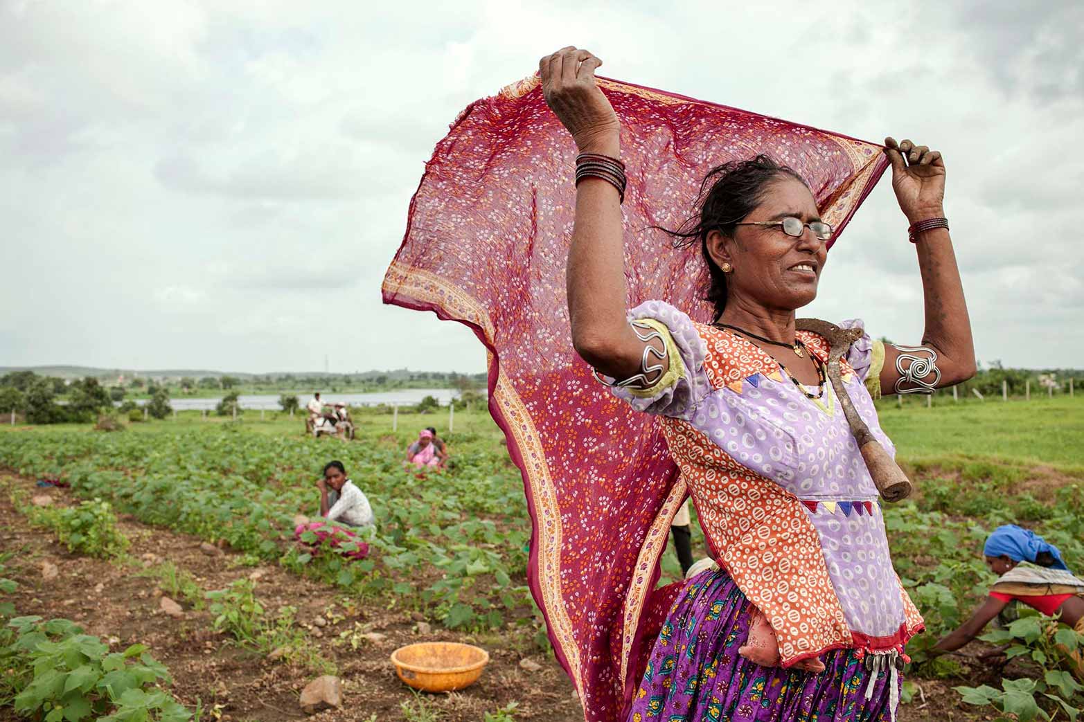
A key challenge in this space is food security monitoring in fragile and conflict-affected settings, where timely, granular data is often lacking but essential for policymakers, humanitarians, and researchers. Traditional methods, such as in-person household surveys, are often expensive, infrequent, and spatially coarse, limiting their ability to provide timely insights at local scales.
To address these challenges, IFPRI has developed a machine learning-based approach to estimate Food Consumption Scores—which is the most commonly used food security indicator by WFP and partners— at a granular village-tract level in Myanmar. This model leverages multiple data sources—including phone survey data, earth observation, crowd-sourced data, and GIS (Geographic Information System) datasets—to generate spatially explicit and near real-time food security assessments. During this seminar, we will discuss the development and application of this approach, the key data and modeling techniques used, and how this method can be scaled for other conflict-affected regions. We will highlight challenges such as data representativeness, feature selection, and model validation, and share insights into improving food security predictions. Finally, we will outline the broader implications of integrating machine learning with earth observation and survey data to support humanitarian efforts and policy decisions.
Moderator and Opening Remarks
- Jawoo Koo, Senior Research Fellow, Natural Resource and Resilience Unit, IFPRI
Presentations
- Joanna van Asselt, Associate Research Fellow, Development Strategies and Governance Unit, IFPRI
- Zhe Guo, Senior GIS Coordinator, Foresight and Policy Modeling Unit, IFPRI
Watch previous webinars in this series:
What does climate change mean for the future of agriculture? Insights from the IMPACT modeling system (May 15, 2024)
How do we prioritize agrifood system policies and investments? Insights from the RIAPA modeling system (June 12, 2024)
How does agricultural productivity growth affect agrifood system transformation goals? Exploring trade-offs using IMPACT (July 9, 2024)
How should governments respond to crises? Rapid response using RIAPA modeling system (August 13, 2024)
How can we improve global crop mapping? IFPRI’s Spatial Production Allocation Model (SPAM) (November 21, 2024)