

On October 31, the NASA Harvest Consortium in collaboration with the Food Security Portal will hold a webinar to discuss the potential of satellite imagery for food crisis early warning systems. This webinar will provide an opportunity to share the current state of knowledge and to identify areas new or further collaboration.
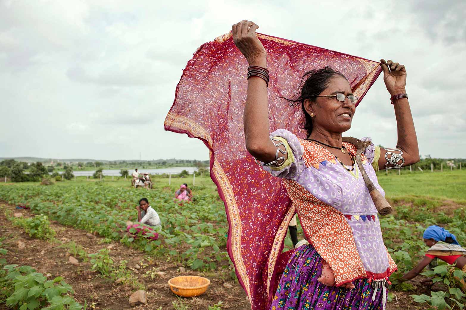
The 2019 Global Report on Food Crises (GRFC) found that more than 113 million people across 53 countries experienced acute hunger in 2018. The main drivers of this food crisis include conflict and insecurity, climate shocks, and economic shocks. To navigate these increasingly complex, interlinked causes of food crises, it is important that governments and other stakeholders have timely, high-quality information in order to increase the resilience of food systems and the ability to cope with future crises. The EC-funded Food Security Portal (FSP) and the Africa South of the Sahara Food Security Portal (FSP-SSA) seek to improve the ability of governments to respond to and prevent food crises by bringing together policy-relevant tools and information in one place.
Early warning tools would provide one mechanism with which to build informed policy responses to food crises. Recent advances in satellite imagery have raised expectations for these tools’ use in such early warning systems, but such use will depend upon the imagery’s ability to create accurate predictions of crop failure and loss and by extension accurate estimated threats to food security. Despite the value that these types of predictions could have, the development of accurate models based on satellite imagery faces a number of obstacles, such as the heterogeneity of crops on small-scale farms in developing countries and cloud cover that can obfuscate the satellite imagery.
To move the accuracy of food crisis predictions forward, the NASA Harvest Consortium – a multidisciplinary group of applied researchers and operations users led by the University of Maryland – is working to enhance the use of satellite data in decision-making related to food security and agriculture worldwide. Researchers from the Food Security Portal make up a part of the Consortium and conduct research on the use of satellite data to predict crop loss, while other Harvest members and researchers work on parallel research questions in the food security and early warning space.
If you have any additional questions and/or comments about the webinar or for the presenters specifically, please send an email to ifpri-fsp@cgiar.org. Presenter slides and video available here.